
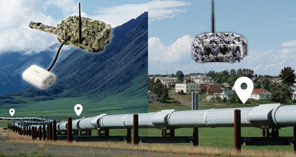
Case Study: Satellite Pig Tracking in Mountain Terrain
A third-party pig tracking company tracked an MFL inline inspection run on a mountain pipeline just outside Salt Lake City, Utah. Propipe North America’s APEX Above Ground Markers (AGMs) covered most of the tracking points: units near the city reported over cellular, and units in the remote mountain sections used Iridium satellite modules. The markers were hibernated after early deployment, woken remotely on run day, and all data was collected for the run.